
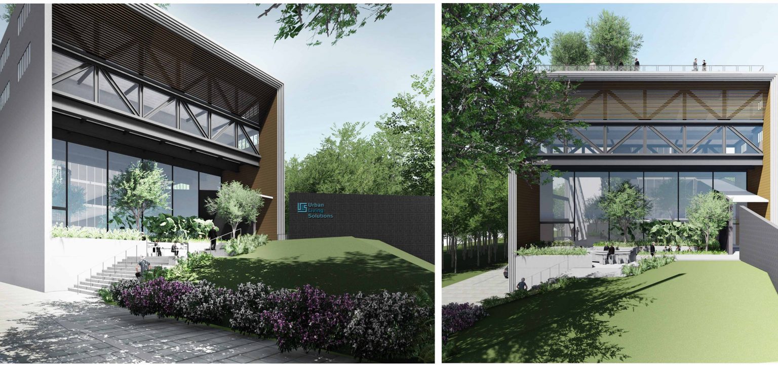
Structure
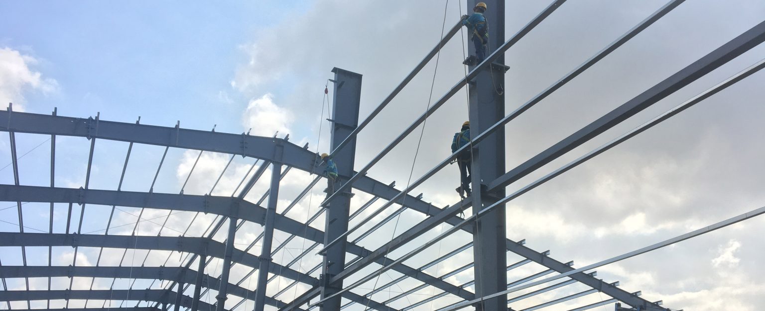
AE provides structural engineering services for residential, offices, institutional buildings as well as for civil infrastructures, etc. With extensive experience in the construction of new structures, the AE design team works hard to provide a level of design detail that can be easily constructed. Services include:
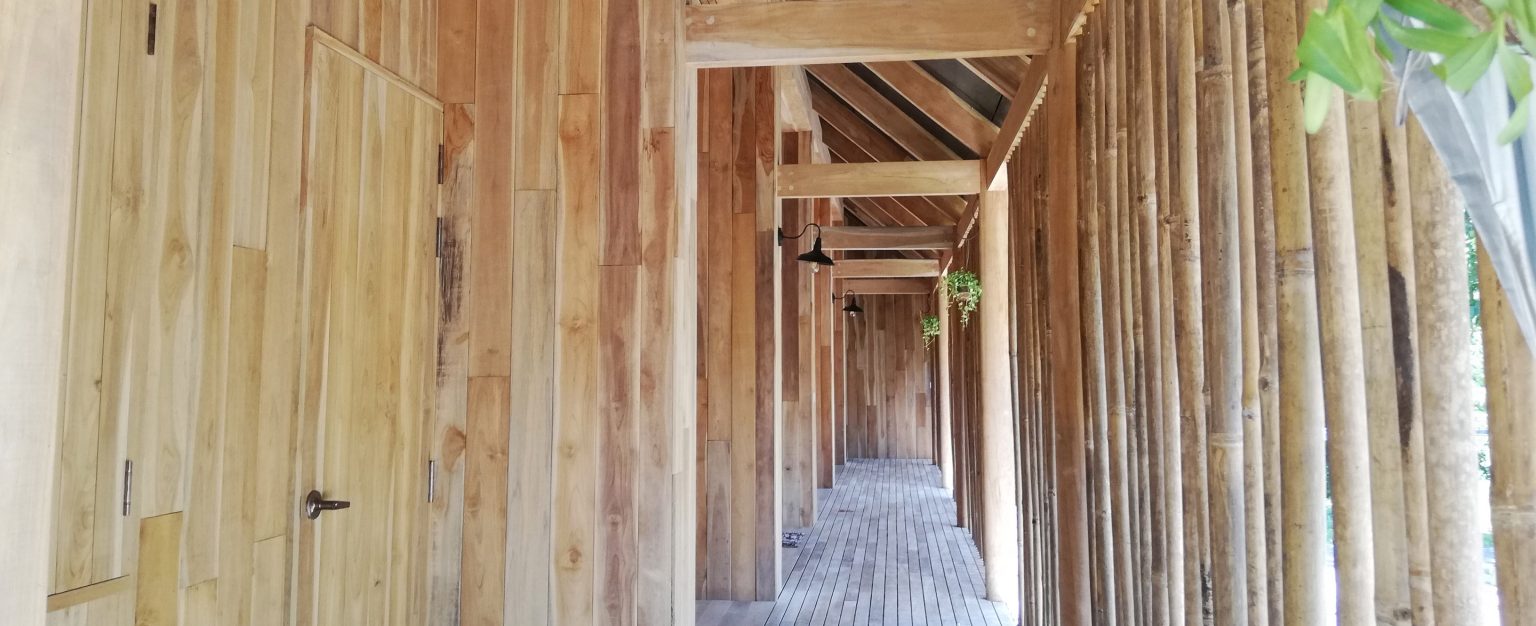
Structural design
Design of new structure


Design peer review
Independent peer review on design done by other party, typically by the Contractor in a design & build contract.

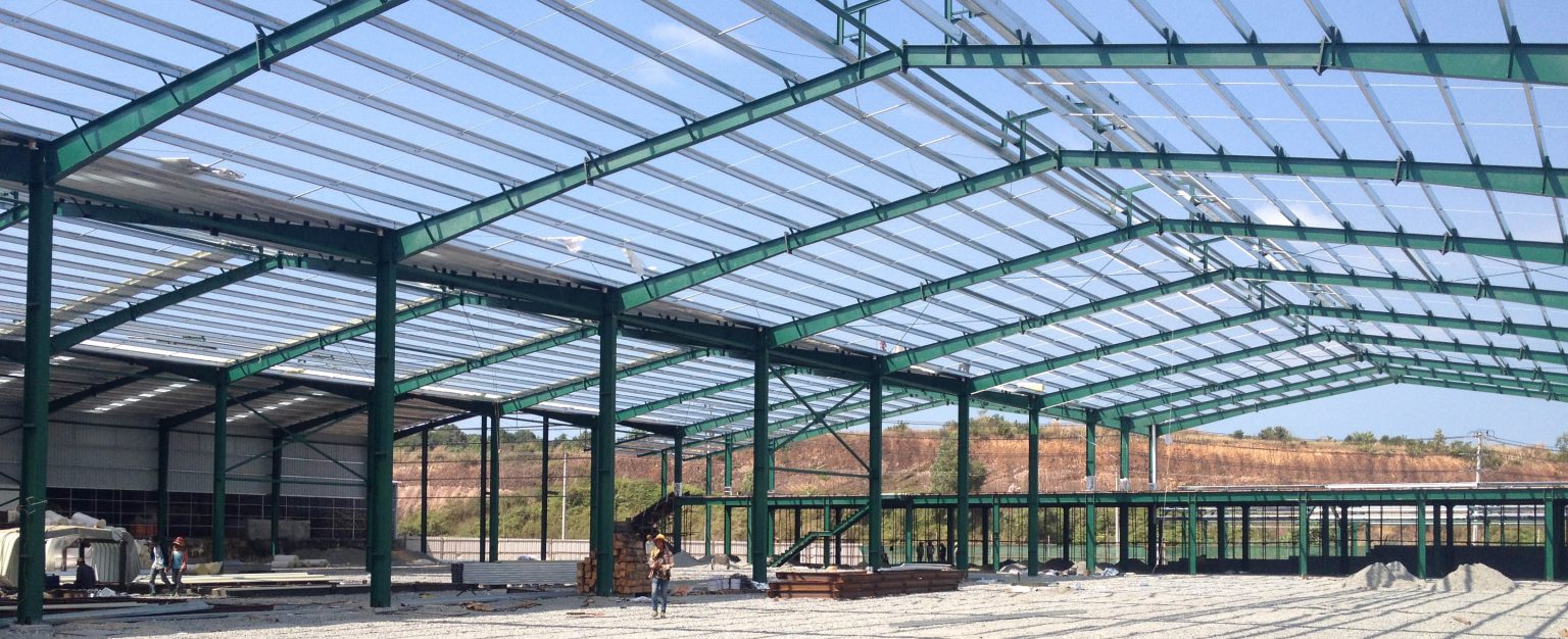
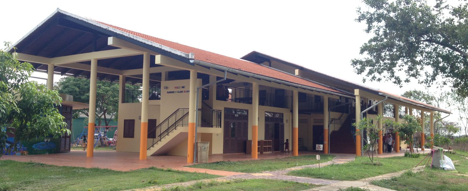
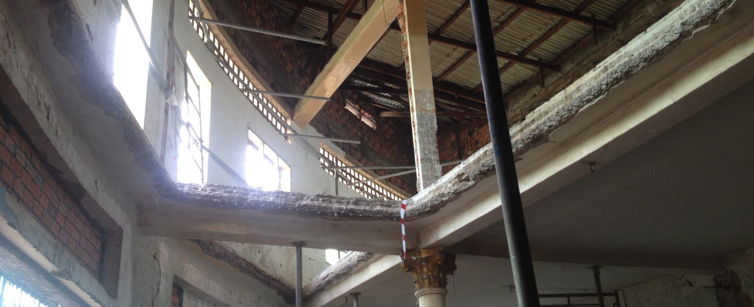
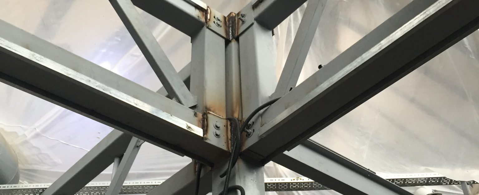
Structural investigation of existing building
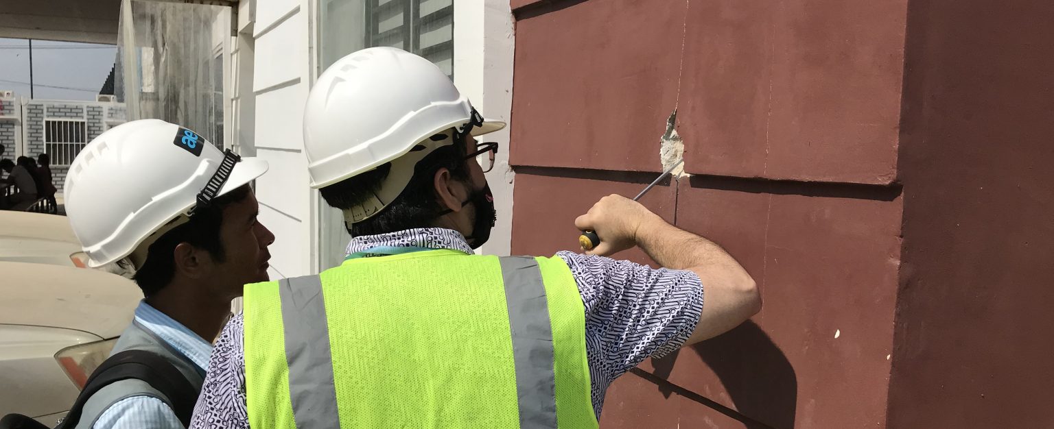
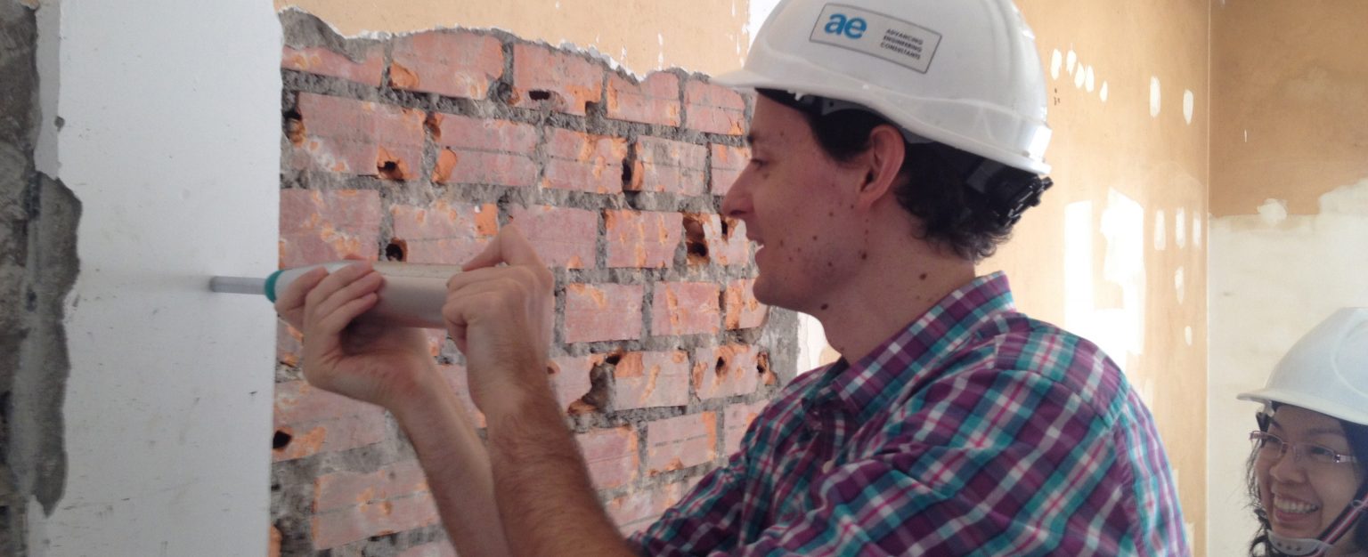
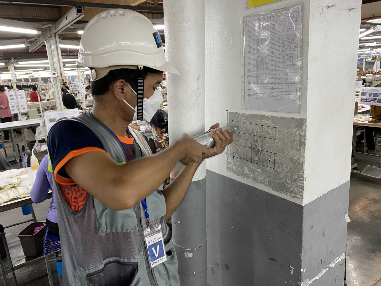
Visual structural assessment of existing buildings
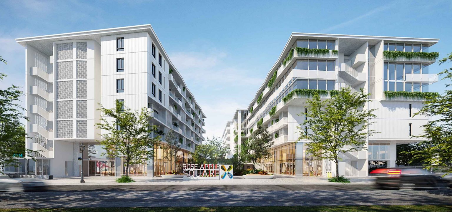
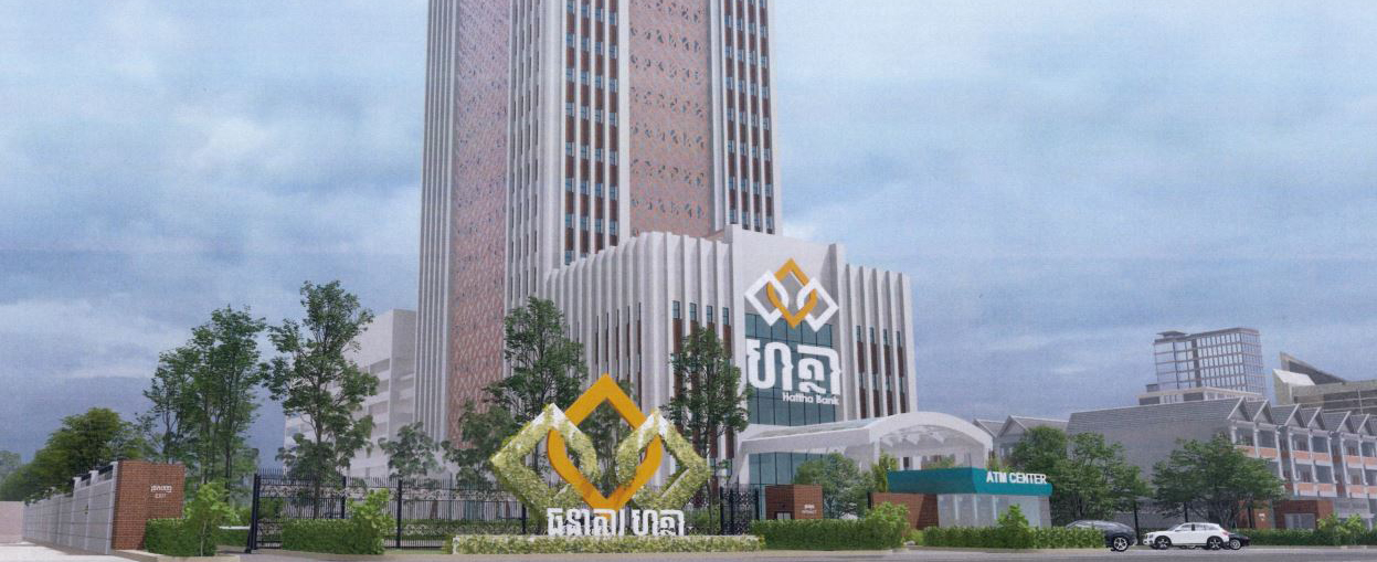
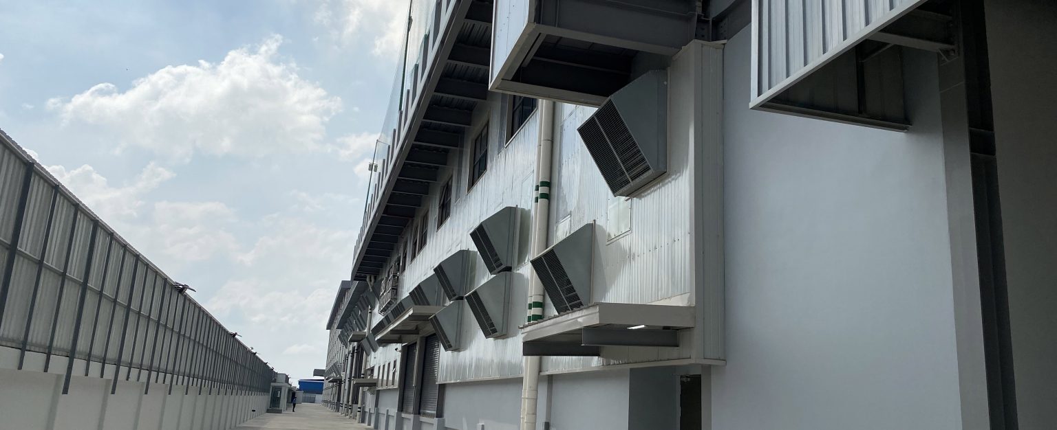
AE has been at the lead of providing visual structural assessment for over 70 factories throughout Cambodia. The first phase of the evaluations is a one-day, rapid visual assessment to provide an overview of the type and extent of structural deficiencies. If major problems are identified, a Phase II evaluation can be undertaken to perform a more detailed analysis. AE has been trusted to provide factory inspections to some of the leading producers in the country due to our consistent adherence to the highest standards of work quality and ethics.
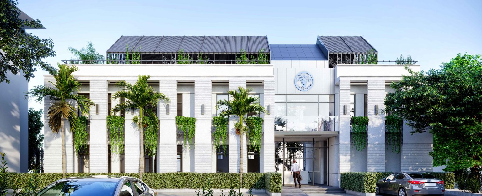
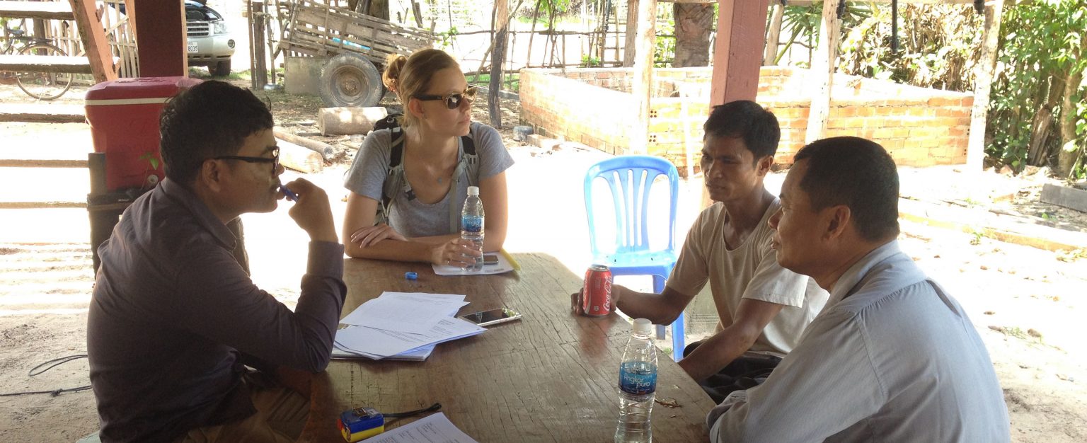
Project Management
AE provides Project Management services for various types of projects from start to finish, including feasibility study, design coordination, tendering management, construction management and final sign off. AE has provided full Project Management services for industrial and commercial building projects as well as civil works projects.
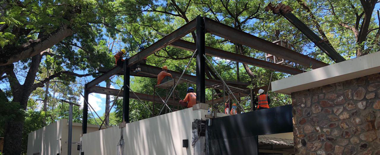
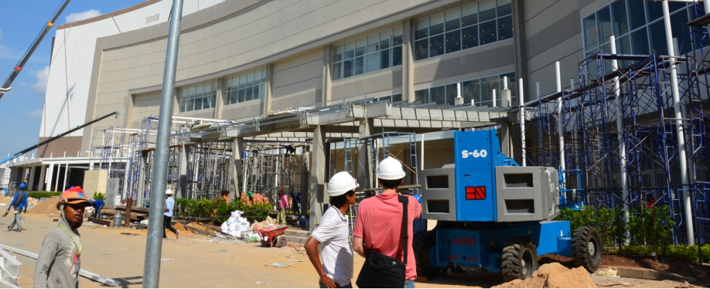
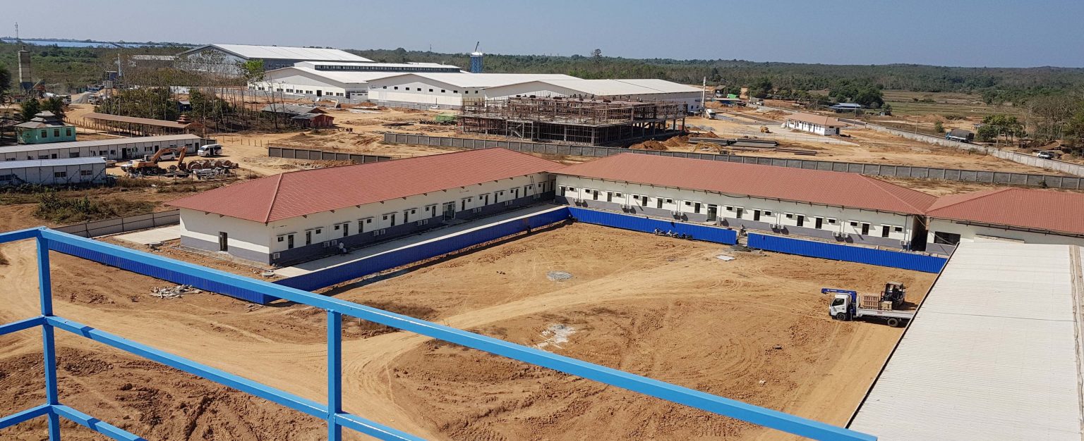
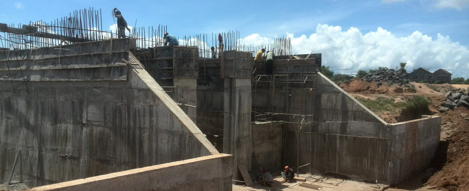
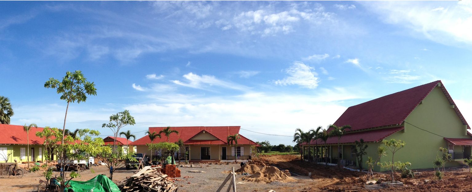
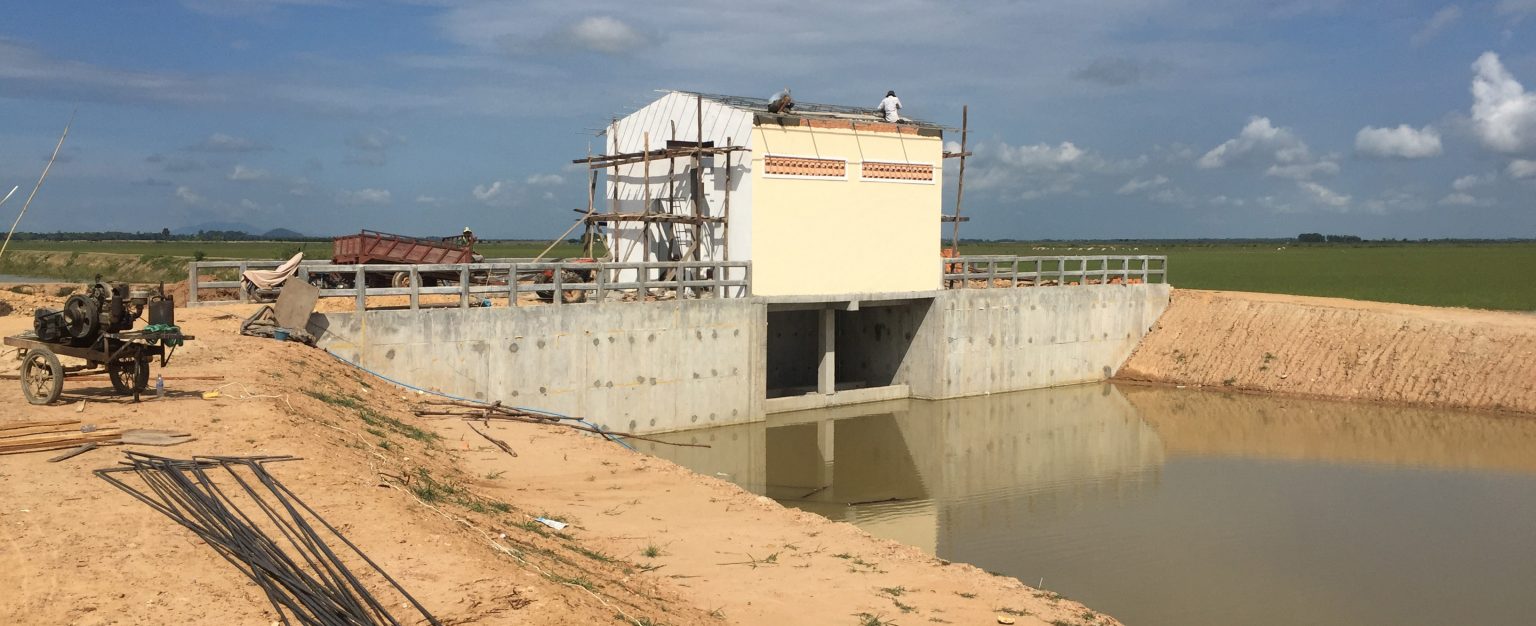
Construction Supervision
AE provides construction supervision services to oversee the Contractor’s work performances to ensure compliance with the agreed specifications of the client. Project examples include:
Other Services
AE also provides miscellaneous engineering services tailored to each Client’s needs and budget. These services include project feasibility study, cost study, and analysis, expert project evaluation, and third-party reviewer or evaluator. Do not hesitate to drop us an email or give us a call in case of any query related to engineering services.
Design coordination
Project Evaluation
Independent Engineering valuation
AE assisted clients by providing independent engineering valuations and consultancy for dispute resolutions
Drone Reality Captures
Drone data advance workplace safety, efficiency, and effectiveness, with agriculture, construction, survey, mining, and inspection jobs at the forefront. Compared to conventional data collection and processing techniques, drone-generated data can be collected at a fraction of the cost and time. AE offers aerial reality capturing services and delivers real-time data with speed, reasonable cost, and at a professional level. There is a variety of output data formats including xyz, las, goetiff, obj, dxf, jpg and pdf to fit your needs.
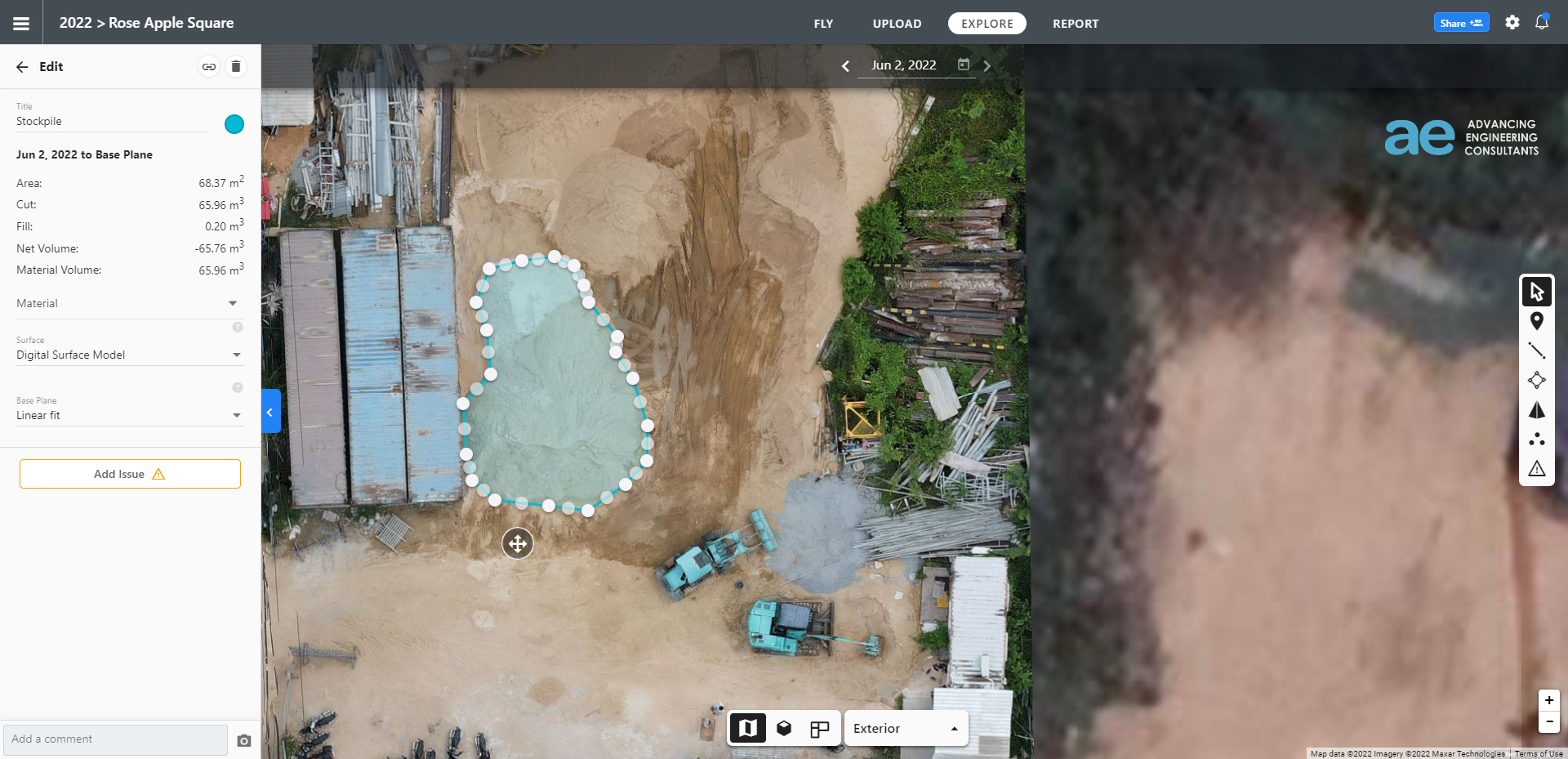
Orthomosaic Aerial Imagery
Integrating multiple smaller images known as orthophotos allows these vast map-quality images great details and resolution. Unlike simple JPEG images, orthomosaic images contain high accuracy information which could be utilized for measurement and quantity estimation.
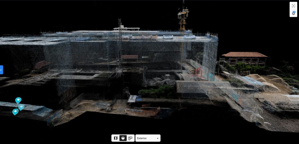
3D Models / Point Clouds
We are offering a variety of high-quality 3D models resulting from advanced software processing generating point clouds & 3D models in .obj, .las, & .xyz file formats.
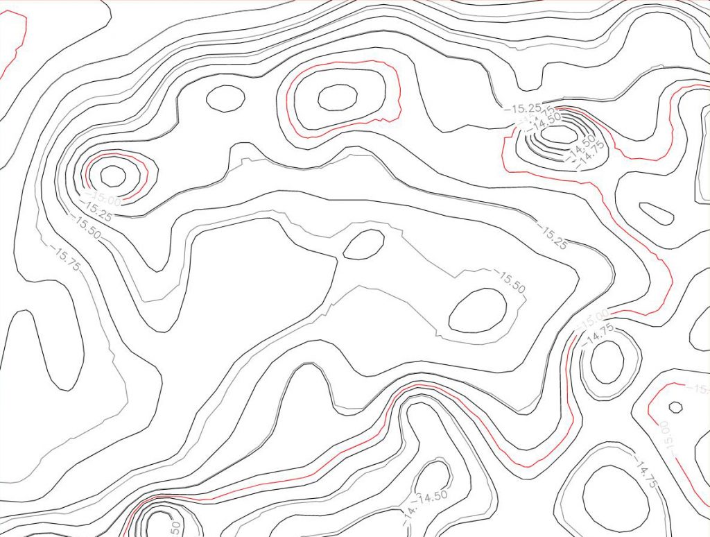
Digital Terrain Model (DTM)
With drone data, we would be able to produce DTM with up to 95% of accuracy depending on your project requirement. Contour lines are useful for landscape modeling, city modeling, and visualization applications. It is often required for flood or drainage modeling, land-use studies, geological applications, and other applications.
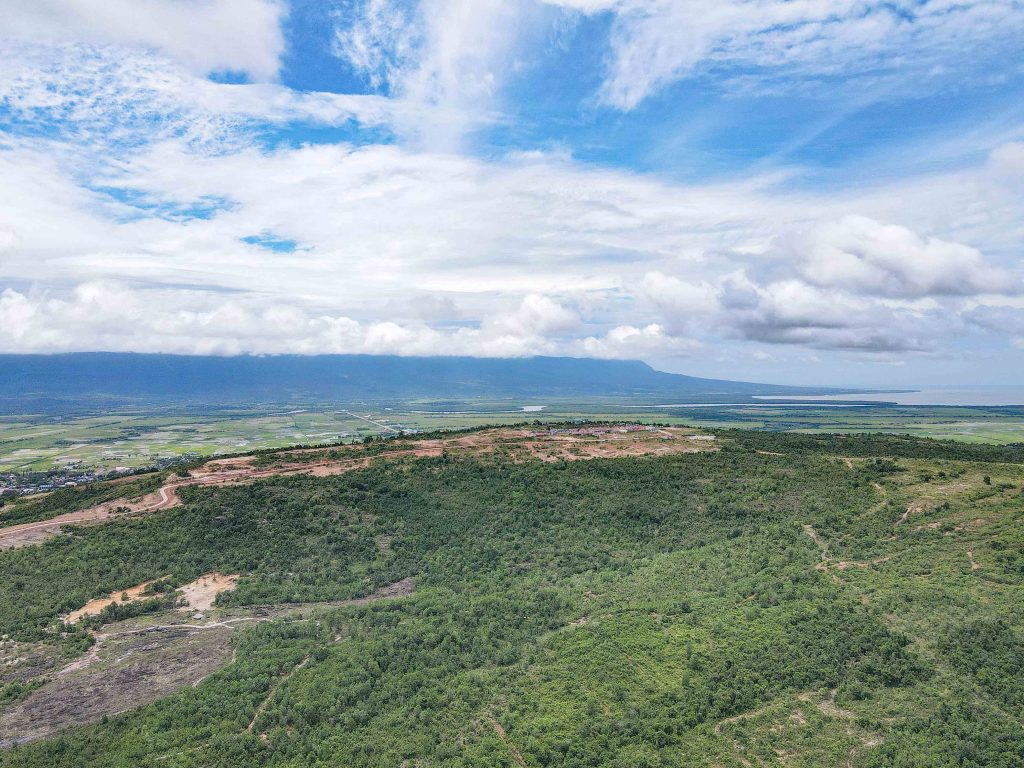
Aerial Videography
By delivering the sharp high-quality aerial footage with 4k resolution videos of your job site, you would be able to quickly identify your project progress and it could be used for video post-production.